Excursion from Montalto to the source of the Arno
in the National Park of the Casentino Forests
Texts and photos by Alessandro Ferrini ©
33 accurately described images of this itinerary. Click to enlarge
Source of the Arno and Lago degli Idoli: itinerary on Mount Falterona
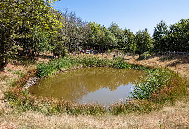
The excursion within the National Park of the Casentinesi Forests, in this case on the slopes of Monte Falterona, which we are going to describe with images and texts, is among the most popular trekking itineraries in this area of the park. In addition to the naturalistic and panoramic beauties, the route offers us the charm of historical, archaeological and literary aspects. This walk will lead us, in fact, to the sources of the Arno, also known as Capo d'Arno, which Dante Alighieri mentions in the Divine Comedy (XIV Canto del Purgatorio) and to the nearby Ciliegeta basin, better known since 1838 as Lago degli Idoli for the many Etruscan finds that have been found there.
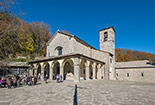
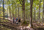
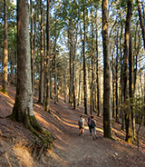
Reading this page and consulting the map on page 4, where the route is traced in red, are enough to travel the itinerary without making a mistake. The photos and related descriptions illustrate in detail the peculiarities of this itinerary that starts and ends at the Church of Montalto, two kilometers upstream of Papiano di Stia, and winds through chestnut, turkey oak, fir and beech woods with suggestive views panoramic views of the Casentino.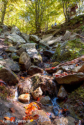 The roads and paths to follow in succession are: the forest service road from the Church of Montalto to the refuge of Vitareta. From here we will use the CAI 2 path up to the intersection with CAI 3 which on the left leads us to the source of the Arno. We will go back on the same path that leads us to the Lago degli Idoli and then towards the Montelleri meadows where it crosses the CT4 road which, with a steep descent, quickly takes us back to the Vitareta refuge. From here we retrace the forest road back for a few hundred meters and then turn right and reach the Bocca Pecorina Pass in a few minutes. We can do it via the CAI 2 path marked on two plants with the classic red white stripes or, a little further down, via a driveway with precise signaling. At the clearing of Bocca Pecorina, after observing the splendid panorama of the Casentino, we take the CAI Path 2. A few hundred meters further on, we find a road on the right that leads to Stia, we must go left on the path that becomes CAI 2A. This slightly downhill path, and through a mainly oak forest, takes us back to the Church of Montalto in about two kilometers.


