From the Solano Valley to the Man of Stone
culture and nature in an itinerary on the ridge and eastern slopes of Pratomagno
Texts and photos by Alessandro Ferrini ©
43 images in sequence to learn about this itinerary in Pratomagno. Click to start the virtual excursion
To the Gastra Pass and to the Uomo di Sasso on the Pratomagno ridge
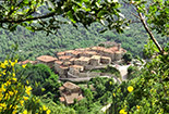
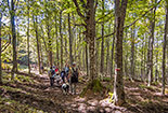
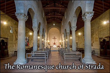
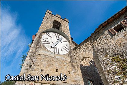
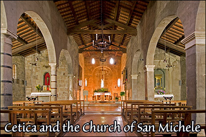
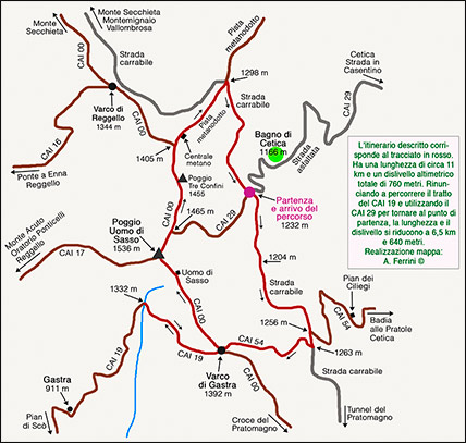 The itinerary that we describe in these pages takes us on a walk in an area of the Pratomagno massif north of the large cross. We will also travel along a stretch of an ancient connection between Casentino and Valdarno. Along the approach by car to the starting point of the itinerary we can also stop to visit the Romanesque church of San Martino a Strada in Casentino, an ancient stone mill in Pagliericcio where you can buy excellent flour, a medieval bridge just before Cetica and the thirteenth-century church of San Michele of monastic origin in this village on the eastern slopes of Pratomagno. Next to the sacred building is the Carbonaio Ecomuseum. The route has a length of eleven kilometers and a total height difference of 760 metres. By giving up on a stretch of the CAI 19 on the Valdarno side of the mountain and using the CAI 29 to return to the starting point, the length and difference in height are reduced to 6.5 kilometers and 640 metres. The starting and finishing point of the itinerary is located one kilometer above Bagno di Cetica, at the crossroads between the road that climbs from the Solano Valley (Municipality of Castel San Niccolò) with the panoramic Pratomagno sul Casentino, a road that runs proximity of the mountain ridge between Monte Secchieta and the tunnel just below the famous cross. We begin the walk by taking the Overview of Pratomagno to the left. After two kilometers, accompanied by a luxuriant forest on both sides of the road, a forest track closed by a barrier descends to the left. It is the CAI 54 which descends to Pian dei Ciliegi in a kilometer and a half through a stupendous beech wood. In this place there is a welcoming area equipped with a shelter, tables, a source with excellent water. In three and a half kilometres, however, the road reaches Badia alle Pratole. The place has this name due to the presence of a meadow where in the 13th century the monks of Vallombrosa built a church and a hermitage of which only a few stones remain today. The CAI 54 basically follows the Casentino Valdarno connection mentioned at the beginning. Existing at least since the year 1000, it connected the parish church of San Martino in Terdinula in Casentino and that of Santa Maria a Scò along the Roman road Cassia Vetus on the Valdarno slopes of Pratomagno, linking Arezzo and Fiesole. We continue straight on the driveway that climbs slightly and which here coincides with the CAI 54. After one hundred and fifty meters, the path turns right. We follow it through a majestic beech forest. A little more than a kilometer of non-binding climb takes us to the Gastra Pass, 1392 metres, one of the most important passes in the Pratomagno. On the ridge of the massif we will find metal poles surmounted by a conical cap: they indicate the route of a methane pipeline. During the entire walk on the ridge and in the descent that takes us back to the panoramic driveway we will be accompanied by these signs, not particularly "ecological", but excellent for following the route. The CAI 54 continues descending on the opposite side of the Pratomagno, the Valdarno one, changing its name, becomes CAI 19. As already mentioned, it leads to the Pieve di Santa Maria a Scò. After three and a half kilometers of sustained descent it reaches
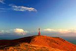
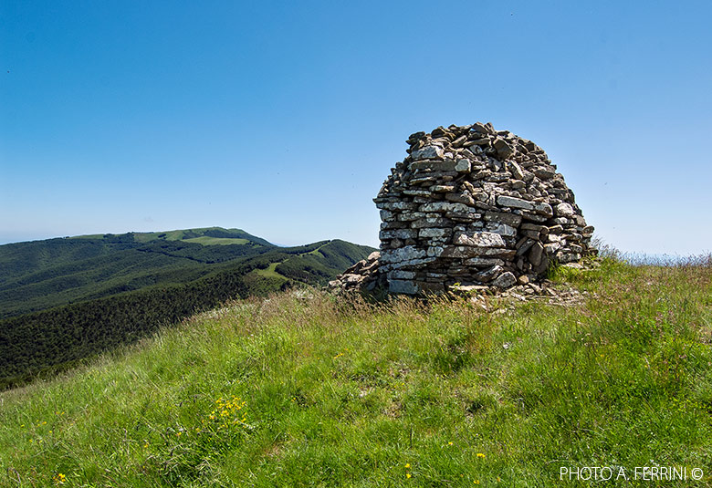
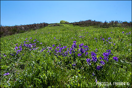
 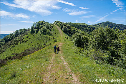 Gastra, at an altitude of 911 metres, where there is a large building from the first decades of the twentieth century. Here, around 1011, the monks of Badia Santa Trinità, on the southern slopes of Pratomagno, built a hermitage which passed into the hands of Vallombrosa in the 13th century. As part of this excursion, we do not recommend descending to this place, the altitude difference is considerable. On the other hand, it is interesting and pleasant to walk the CAI 19 for just over a kilometre, up to a sharp curve to the left where the path crosses a ditch whose course on rock is very beautiful. In this stretch we will descend only about sixty meters and the wood that we will cross is particularly luxuriant. Once back on the ridge of the mountain, we will start walking on the CAI 00 in a northerly direction. From the first meters we will face a fairly demanding climb (it will be the last of this itinerary) which in about a kilometer and a half will take us to the 1536 meters of Poggio Uomo di Sasso where we will meet the CAI 17 which, keeping to the ridge of a sort of buttress on the western side of Pratomagno, it descends towards Reggello passing through Monte Acuto and the Oratory of Ponticelli. As we go up, let us look back from time to time. The view over the Casentino valley becomes ever wider and more interesting. Two hundred meters before reaching the top of the hill, along the CAI 00 we find a large pile of stones of multiple sizes and arranged like a wall: it is the Uomo di Sasso. Various legends have arisen in this area of Pratomagno, probably due to the presence of the large and mysterious stone monument. Here are born many varieties of flowers that paint the ridge of many colors. Unfortunately, the place also has a sad history: during the Second World War it was the scene of clashes between partisans and Nazi-fascists. We continue our journey on the CAI 00 which, beyond Poggio Uomo di Sasso, begins to descend gently towards the Reggello Pass, another historic mountain pass. To our left, on the eastern slopes of Pratomagno, the large complex of the Sant'Antonio Natural Forest has begun. If previously we had a wide panorama to the southeast, now, to the northwest, we see the Valdarno up to Florence with the horizon marked by the jagged profile of the Apuan Alps. To the north-east, however, we have the upper part of the Casentino enclosed by Monte Falterona. Where the path becomes almost flat again, we find the CAI 29 on the right. Taking this path which coincides with a forest track,
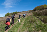
 in just over a kilometer we will descend to the starting point of the excursion. The Pratomagno, however, is first of all its ridge and we have enjoyed it too little yet. So let's continue straight. Now the route climbs slightly until it reaches Poggio Tre Confini. From here begins a descent which after three hundred meters reaches a crossroads. The CAI 00 turns left and turns into a service road for a methane plant that we see two hundred meters from us, along the road to the right. We head towards it, pass by it and continue on the track where the pipeline passes. In front of us, the route offers a beautiful view of the upper Casentino and Montemignaio. Going forward the descent becomes more accentuated, but you walk well because the bottom is grassy and smooth. One kilometer after the methane plant, we reach the panoramic road. We take it to the right and in a kilometer and a half, accompanied by a beautiful beech forest and views of the valley below, we return to the starting point of this itinerary which has shown us beautiful nature, many panoramas and told interesting stories. Back in Cetica we can go down to the valley floor using another road that will take us past the interesting Church of San Pancrazio, also from the 13th century and of monastic origin. A little further on we arrive at the small village of Barbiano. Here is the Pertichini artisan salami factory where we can buy products worthy of the highest Casentino tradition.


