Buite Refuge, Pozza Nera, the Cross
an itinerary in Pratomagno, the massif between Casentino and Valdarno
Texts and photos by Alessandro Ferrini ©
70 images in sequence to learn about this itinerary in Pratomagno. Click to start the virtual excursion
In Pratomagno to the Buite Refuge, to the Pozza Nera and to the large cross
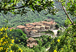
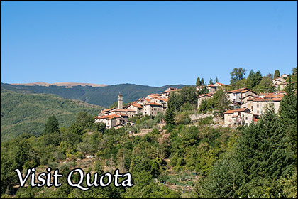
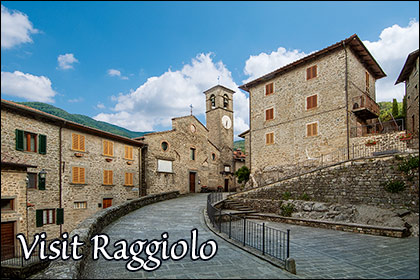
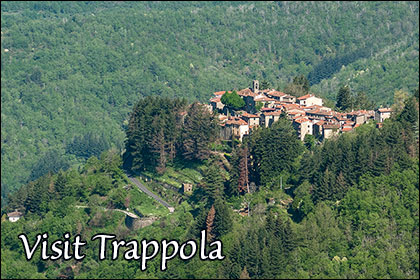
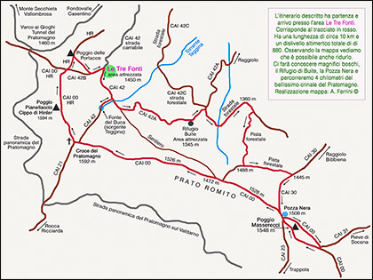 The route we describe in these pages will make us walk through the magnificent woods of Pratomagno, we will pass by the Casetta di Buite, today a bivouac, but born as a refuge for woodcutters, shepherds, charcoal burners who worked in this area of the great massif that divides the valleys of the Casentino and Valdarno, but which at the same time unites them through many paths that have crossed the mountain since ancient times, once used by merchants and shepherds, today, almost all of which have become CAI paths, used by trekking enthusiasts. On one of these, today CAI 30, we will walk for six hundred metres. A route that since medieval times from Bibbiena climbed the ridge of the massif passing through Ortignano and Raggiolo, crossed it at the Pozza Nera and descended on the western slope of the mountain up to Loro Ciuffenna passing through Trappola. This last village, perched on the steep Valdarno slopes of Pratomagno, like Raggiolo, was a castle of the Guidi. The roads that, by car, lead to the starting point of the excursion pass next to or a short distance from these villages. An opportunity, therefore, to visit them. Also worth seeing are Quota, on the Casentino side, and Anciolina on the Valdarno side. The walk we propose is to be considered of medium difficulty. It is about ten kilometers long and has a total height difference of 880 metres. Looking at the map we see that the route can easily be shortened. For example, having reached Pozza Nera we can save a kilometer if we immediately take the ridge to the north-west instead of turning around and climbing Poggio Masserecci. We will shorten even more and significantly decrease the difference in height if we reach Prato Romito directly with a forest track avoiding reaching the CAI 30 which takes us up to the Pozza Nera. As just mentioned, the starting point of the walk is Le Tre Fonti, a large lawn and equipped area that we reach with a kilometer of white road that begins in the large clearing in front of the Da Giocondo restaurant. This road coincides with a section of the CAI 42, a long route that from Strada in Casentino reaches the Pratomagno cross. The excursion begins right on this path.
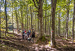
 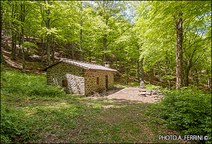 As soon as you pass the barrier that closes off a service road that goes from Le Tre Fonti to Poggio Pianellaccio (CAI 42B) to motorized vehicles, we turn left and start walking along the fence. At the end of this we will enter the wood and a short descent will take us to cross a small ditch. We are walking on the border between the large mountain meadows and the underlying beech woods. After two hundred meters we cross another stream, then, through a gate, we enter a clearing. At the end of this, on our right, a strip of beech trees climbs towards the top of the mountain. The CAI 42 follows, flanking it, the wood. The path is now in disuse and it is difficult to identify it. Almost at the end of the beech trees we find a sort of entrance into the wood. We access it and, following a path, in less than a hundred meters we reach the Fonte del Duca, as well as the source of the Teggiana, the torrent which, after passing next to Raggiolo, flows into the Arno near Bibbiena. There is another way to reach this source that is really worth seeing. Instead of turning right to follow the CAI 42, we follow the road which from here becomes CAI 42A. After a few steps we reach Teggina which crosses the road. We can easily go up this stream characterized by small waterfalls due to walls built to avoid soil erosion. In just over a hundred meters we will be at its source. Back on the CAI 42A we continue our journey. After a few minutes, the path turns left and begins to descend into the woods. In this section the path is less evident, pay attention to the red and white marks on the plants. Then it becomes a real driveway inside a splendid forest which in ten to fifteen minutes leads us to a plateau with majestic beech trees. We are at the Casetta di Buite (1345 metres), a bivouac built on what was once a refuge, but also a home, for woodsmen, shepherds, charcoal burners. This place is also an area equipped with tables, stoves and an inevitable source with excellent and fresh water. We continue on the CAI 42A and in two hundred meters of slight descent we reach a crossroads with a forest road. The CAI route turns left and after twenty meters right to go down to Raggiolo, we go right. The wide road, rising slightly, runs through a luxuriant beech forest. Then it begins to descend to a ditch which, in the spring when we passed, showed us beautiful water features upstream.
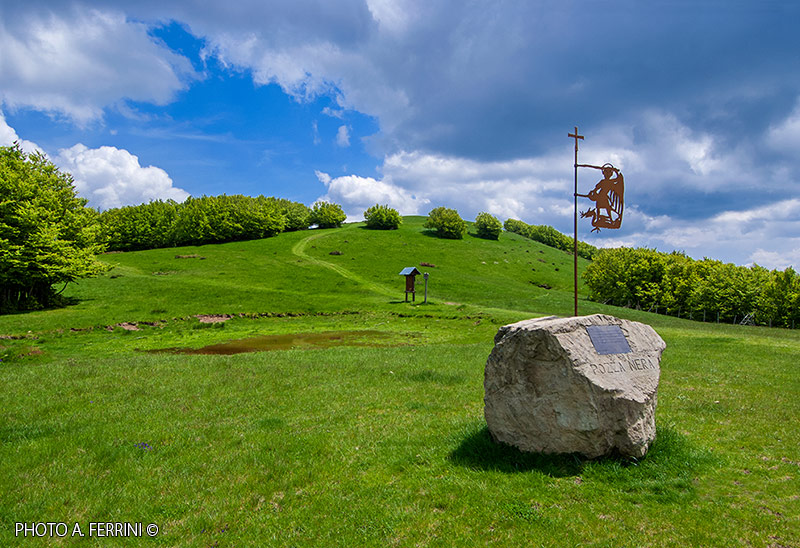
  From here the road begins a constant climb up to its highest point (1360 metres) at a slight curve to the right. We still continue for 170 meters. To the right is a forest track that goes into the woods. The beginning of this road is between two beech trees, in their trunk there is a green sign. On the ground, next to the right beech, there is a term. That is, those stones that were placed as boundary markers. On the front there is a CI 842 crypt. We take this road which, in about seven hundred meters of almost constant but not demanding ascent, leads us to an intersection with another forest track. If we go to the right, in a few minutes we reach Prato Romito, a large saddle on the Pratomagno ridge. In this way we will shorten the excursion enough, but we want to see the Pozza Nera and enjoy Poggio Masserecci, so we continue to the left. In another seven hundred meters in a beautiful wood, basically slightly downhill, we will arrive at the crossroads with the CAI 30. We have already talked about the historical importance of this route. We will take it to the right, going up, and in about six hundred meters we will reach the green basin on the ridge where the Pozza Nera is located. It is a small artificial reservoir, created on a spring who knows how many years ago, so that the animals that grazed up here could drink. Today the Pozza Nera, perhaps due to the reservoir that no longer holds water or the decreased flow rate of the spring, we see it full only in very rainy periods. In this place, which for centuries has seen the transit of many flocks and shepherds, some boulders were brought in 2020 on the initiative of the Raggiolo Brigade and the Da Giocondo Restaurant. It gains the scenography and serve as benches. In one of these a sort of flag has been planted which recalls San Michele Arcangelo, a reference figure for transhumant shepherds between Casentino and Maremma. The CAI 00 runs along the entire ridge of Pratomagno, which often, however, avoids climbing the tops of the hills, but passes alongside them. Even from Pozza Nera, the CAI 00 does not climb Poggio Masserecci, but passes on its left side. We follow the path that crosses a dense forest for about a hundred meters and then comes out in the next basin. CAI 31 begins on the left and descends to Pieve di Socana keeping to the ridge of a sort of buttress which today, in the upper part, marks the border between the Municipalities of Ortignano Raggiolo and Castel Focognano.
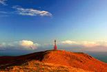
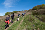
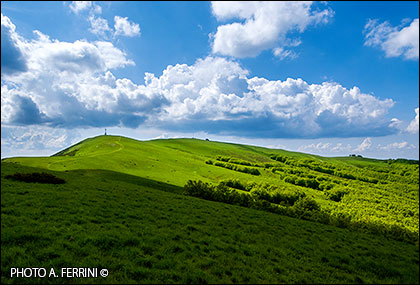
 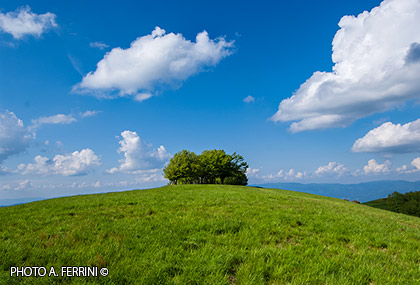 Until the mid-14th century, it separated the territory under the control of the Arezzo bishopric from that of the Guidi. Let's start the journey back to the starting point from this saddle on the Pratomagno. This time we don't follow the CAI 00, but we go up to Poggio Masserecci (1548 metres). The short effort will be rewarded by the beautiful turf that we will find on this peak and the 360 degree panorama that it will offer us. Going a little further we will see the Pozza Nera from above and the entire massif up to Monte Secchieta. From here to the large cross there are about three kilometres, four at Poggio delle Portacce which we will reach by crossing Poggio Pianellaccio (1594 metres) where there is a memorial stone commemorating Hinkler, the Australian aviator who crashed on this mountain in January 1933. At Poggio delle Portacce we will leave the HR path (Hinkler Ring) and crossing the meadow we will reach the CAI 42B which takes us back to the starting point in two hundred meters. These last four kilometers of the itinerary are very simple, just stay on the ridge following the CAI 00 up to Poggio delle Portacce. Describing it would be superfluous, reductive compared to the beauties and panoramas that this environment offers us. We leave the description to the photos in sequence, accompanied by captions, of this web section. We did this walk at the end of May, when the green of the lawn and the foliage of the beech trees is almost blinding, but there are some photos taken in other seasons and at different times of the day, to make it clear that Pratomagno at any time of the year , but even in the space of a few hours, it has different beauties and peculiarities to show. Through the banners at the end of text you can make a very detailed virtual visit to the villages on the slopes of Pratomagno mentioned in this text.


